Oregon wildfire updates: State of Emergency declared in Warm Springs
Water conservation order in effect
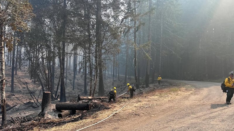
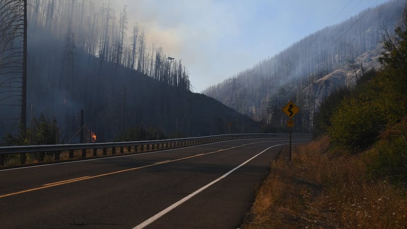
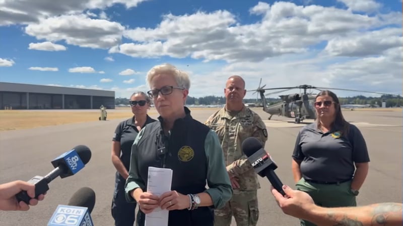
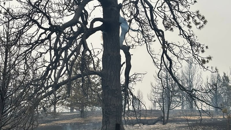
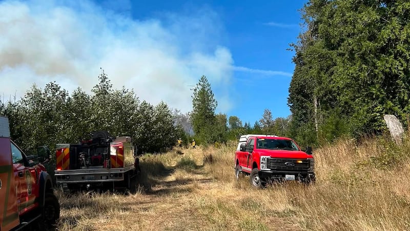
(KPTV) - Wildfires continued to burn across Oregon Monday, scorching hundreds of thousands of acres, forcing evacuations and closing state highways.
Current Evacuation Levels:
- Baker County: facebook.com/profile.php?id=100064434892363
- Crook County: Facebook.com/CrookCountySheriff
- Gilliam County: Facebook.com/GilliamCountySheriff
- Grant County: Facebook.com/profile.php?id=100068819321423
- Harney County: Facebook.com/HarneyCoSheriff
- Jefferson County: Facebook.com/JeffersonCountyORSheriff
- Sherman County Facebook.com/profile.php?id=100064318254818
- Umatilla County: Facebook.com/UmatillaCountySheriff
- Union County: Facebook.com/UnionCountyORSheriff
- Wheeler County: Facebook.com/WheelerCountySheriffsOffice
- Wasco County: Facebook.com/WascoCountySheriff
- Confederated Tribes of Warm Springs, Oregon: Facebook.com/CTWSO
Live updates below:
2:50 p.m.
The tribal council for the Confederated Tribes of Warm Springs have declared a State of Emergency due to wildfires in the area. A water conservation order and boil water notice are also in effect.
2 p.m.
I-84 has reopened in both directions between Baker City and Ontario, according to ODOT. Only one westbound lane is open currently.
I-84 has reopened in both directions between Baker City and Ontario, but wildfire remains active in the area. Only one lane of I-84 is open westbound, so expect delays if traveling west. Conditions can change with little notice, so intermittent closures are still possible.
— OregonDOT (@OregonDOT) July 27, 2026
1 p.m.
ODOT says about 30 miles of fire activity is burning along or near I-84 between Baker City and Ontario. The interstate was closed early Monday morning, and ODOT says that sections of the interstate may open or close with little notice.
People can check tripcheck.com before heading out.
Sections of Highway 20 and Highway 26 east of the Cascades also remain closed due to wildfire activity.
12:20 p.m.
The Wasco County Sheriff’s Office says the Grasshopper Fire, which is burning in the Mount Hood National Forest near Grasshopper Point, has grown to more than 10,742 acres. The cause of the fire remains unknown.
The sheriff’s office also posted on Facebook updates for the 8 Mile Road Fire, 10 Mile Fire, 586 Fire, Little Buck Fire, and Deep Canyon Fire.
8:20 a.m.
Much of Eastern Oregon is covered by dense smoke Monday morning, according to FOX 12 Chief Meteorologist Mark Nelsen.
An Air Quality Advisory is in effect for multiple counties Monday including Crook, Grant, Jefferson, Union and Wheeler. Current air quality map can be found here.
8 a.m.
Rowe Creek Complex has grown to 209,546 acres and is 35% contained.
6:50 a.m.
The Oregon Department of Transportation has closed Interstate 84 in both directions between Baker City and Ontario due to a wildfire.
People are being asked to avoid the area, and there are no local detours in place.
Copyright 2026 KPTV-KPDX. All rights reserved.